MUNNAR NEWS
Digital Land Survey in Munnar: 33 Villages Identified as Government Land Records Are Revised
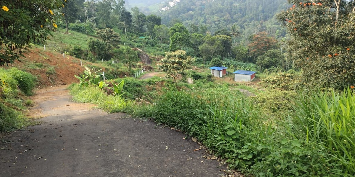
Munnar, Kerala | Land Administration and Governance
A digital land survey in Munnar and surrounding areas has brought renewed attention to land ownership records, with 33 villages identified for closer examination as part of efforts to improve the accuracy of official land records. The survey findings also indicate a reduction in the extent of land recorded as puramboke, or government land, according to a Malayalam newspaper report.
The report highlights the importance of digital resurvey in clarifying land boundaries, verifying ownership details and updating official records. The process is particularly significant in Munnar and the wider Idukki district, where questions relating to land classification, ownership documents and alleged encroachments have remained under scrutiny.
Digital Resurvey to Improve Land Records
Kerala's digital land survey initiative uses modern surveying technologies to map properties and create more accurate land records. The state-wide programme, known as Ente Bhoomi, aims to improve transparency and make land-related information more accessible to property owners and the public.
In Munnar, the resurvey is especially important because of the region's complex land history, including agricultural holdings, plantation areas, government land and environmentally sensitive properties. Accurate mapping can help authorities distinguish between different land categories and identify discrepancies in existing records.
Focus on Government Land and Ownership Verification
The newspaper report draws attention to changes in the extent of land classified as government land following the survey process. Such changes underline the need to verify survey measurements, ownership documents and the legal status of individual properties before drawing conclusions about land ownership.
The findings are also relevant amid continuing efforts by authorities to examine suspected encroachments and irregularities involving land documents in parts of Munnar and Idukki. Accurate digital records can support administrative decisions and help resolve disputes, although individual cases may still require documentary verification and legal proceedings.
Significance for Munnar Residents and Property Owners
Reliable land records are important for residents, farmers, plantation owners and prospective property buyers in Munnar. Updated survey information can help clarify boundaries, support property transactions and reduce uncertainty over land classification.
The digital resurvey is part of a broader effort to modernise Kerala's land administration system. The publication of verified survey information and the effective handling of objections or discrepancies will be important in ensuring transparency and public confidence in the process.